
Travel story 7 min read
MyTravelBuddy Stories
Take the Interesting Way to Victoria
The obvious route from Seattle to Victoria treats the water as an obstacle. Miles Wilder follows the ferries, island roads, old ports, and Olympic Peninsula shorelines that explain why the destination is there at all.
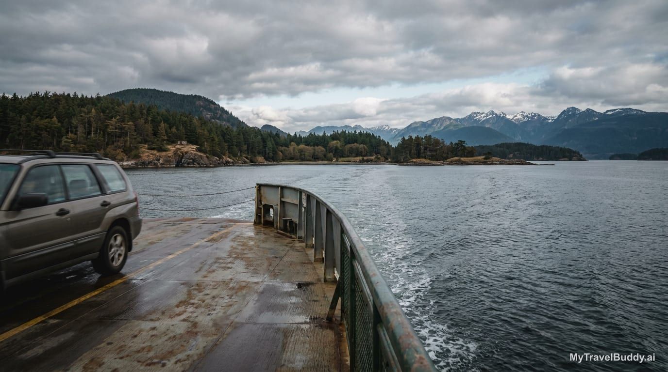
Most routes from Seattle to Victoria try to solve the water problem as quickly as possible.
That makes sense. Victoria is close on the map and awkward in real life, which is one of the stranger combinations a place can have. You can board the passenger-only Victoria Clipper in downtown Seattle and arrive at the Inner Harbour in about three hours. You can also point a car north on I-5, deal with the border, and let the big BC Ferries system carry you from Tsawwassen to Swartz Bay.
Both are reasonable. Neither is the story.
Look at the map for a second. Seattle and Victoria are not separated by empty space. They are separated by a whole vocabulary of water: Puget Sound, Possession Sound, Admiralty Inlet, the Strait of Juan de Fuca, Haro Strait, islands, peninsulas, ferry lanes, rain shadows, naval towns, old ports, and the long reach of the Olympic Mountains.
The obvious route treats all of that as an obstacle.
The interesting route treats it as the point.
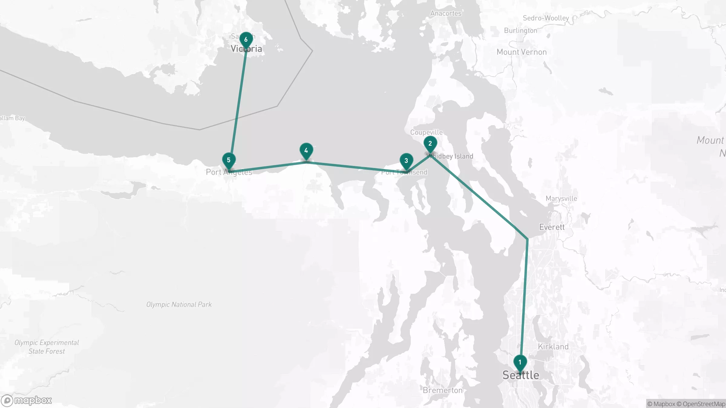
Start in Seattle with a car, but do not commit to the freeway for very long. Go north to Mukilteo and let the first ferry do what ferries are good at: interrupting the idea that a road should always be continuous.
The Mukilteo-Clinton crossing is short. Washington State Ferries lists it at roughly 20 minutes, which is barely enough time to settle into the rhythm of being afloat before Whidbey Island appears in front of you. That is useful. The first crossing should not feel dramatic. It should feel like a hinge.
On Whidbey, the trip changes scale. The route no longer behaves like a regional transfer between major cities. It becomes local. You move through an island that is close to Seattle but not quite absorbed by it, past farms, low woods, airfields, beaches, and views that keep opening west toward the Olympics.
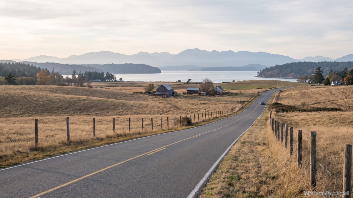
Coupeville is where the route starts making its argument. The town sits inside Ebey's Landing National Historical Reserve, a landscape the National Park Service describes through historic Coupeville, Kettle trails, state parks, and one of Washington's oldest towns. That matters because this is not just a pretty pause before the next ferry. It is a reminder that the Salish Sea is not empty scenery around the edges of cities. People have been living, farming, trading, defending, crossing, and arguing with this shoreline for a long time.
If you have time, stop here instead of rushing to the next terminal. Walk a bit. Look west. Notice how much of the region is not arranged around highways at all, but around shorelines, harbors, and the practical question of where land allows a crossing.
Then take the Coupeville-Port Townsend ferry.
This is the piece that decides whether the route is for you. The ferry is not merely transportation; it is a scheduling commitment. WSDOT's ferry system changes by season, and its own schedule page divides the year into winter, spring, summer, and fall service periods. You should check the exact sailing day, make reservations where available, and leave slack in the plan. A missed ferry here is not a small inconvenience. It is the trip reminding you that water has opinions.
But if the timing works, this crossing is the reason to come this way.
Port Townsend does not feel like a freeway exit because it was not built to be one. It looks outward. The streets meet the water with the confidence of an old port town, and the buildings carry the slightly theatrical ambition of a place that once expected the future to arrive by ship. That is where things get interesting: the route has moved you from a metropolitan edge to an island, from the island to an old maritime town, and from there toward the Olympic Peninsula.
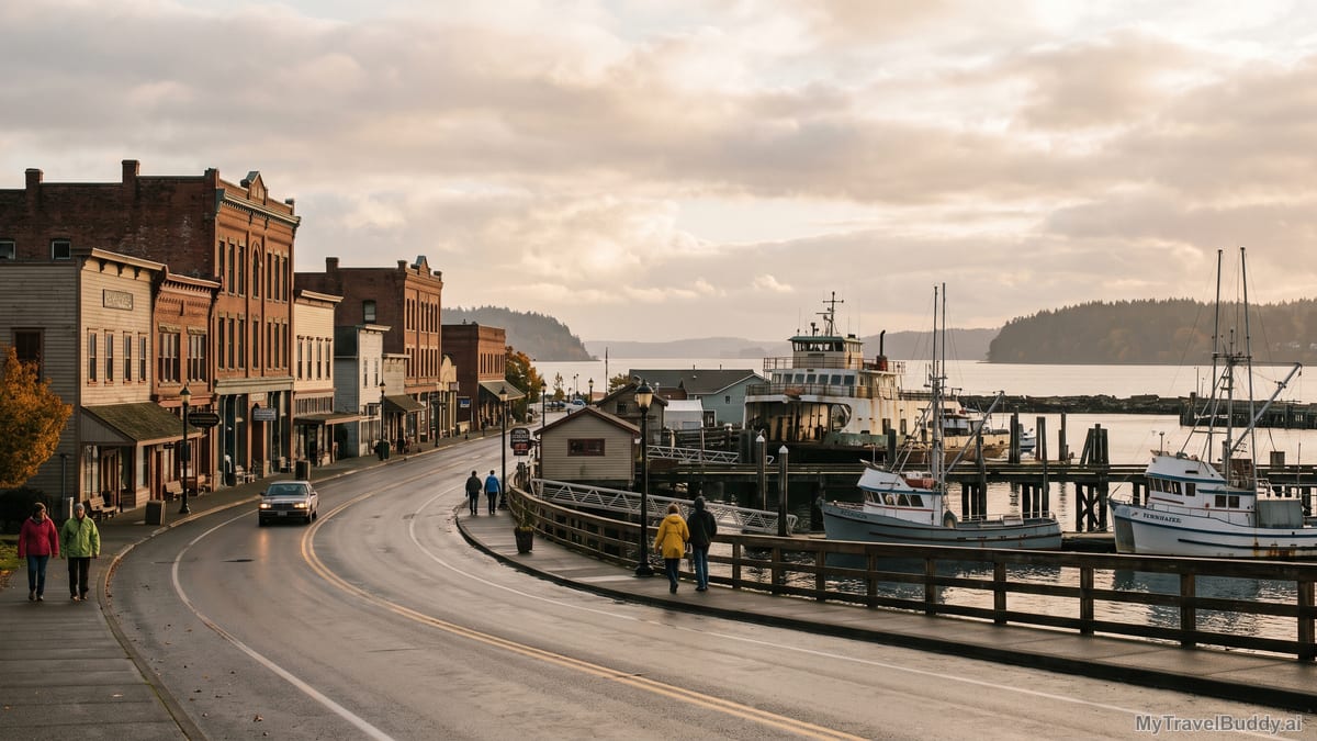
The obvious road from Seattle to Victoria wants to get around geography. This one keeps introducing you to it.
From Port Townsend, turn west across the top of the Olympic Peninsula. The drive to Sequim and Dungeness does not have the instant spectacle people sometimes demand from a "scenic route." Good. Let it be quieter than that.
The land begins to explain itself slowly. The Olympic Mountains rise to the south. The Strait of Juan de Fuca runs to the north. Sequim sits in the famous rain-shadow country, drier than much of the surrounding coast because the mountains wring so much weather out of Pacific systems before they pass over. Around Dungeness, the geography becomes almost literal enough to draw: a long sand spit curling into the strait, sheltering a bay.
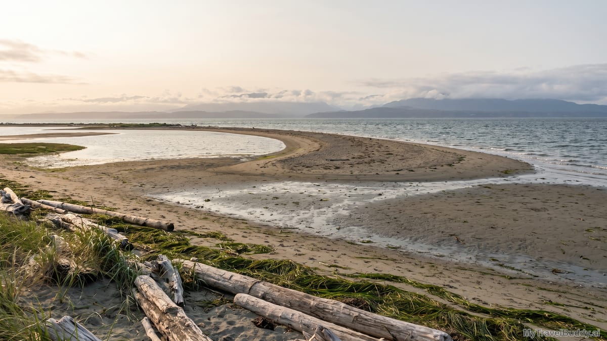
The U.S. Fish & Wildlife Service calls Dungeness one of the world's longest sand spits and notes that it protects a bay rich in marine life, with eelgrass beds, tideflats, shorebirds, waterfowl, harbor seals, and young salmon and steelhead habitat. That is not a random nature stop. It is the route showing its work.
The same water that makes Victoria inconvenient to reach also creates the habitats, ports, ferry routes, and border crossings that make this corner of North America what it is.
Port Angeles is the last American town on the route, but it does not feel like an ending. It feels like a threshold. Hurricane Ridge rises 17 miles to the south, according to Olympic National Park, close enough that mountain weather can be part of the day even when your destination is a city across the water. To the north, the Black Ball Ferry Line's M.V. Coho crosses the Strait of Juan de Fuca between Port Angeles and Victoria. Black Ball describes it as a vehicle and passenger ferry linking the Olympic Peninsula with Vancouver Island; the crossing is about 90 minutes.
This is where the trip becomes international without becoming abstract. You are not flying over the border. You are watching the land pull away behind you and another harbor gather itself ahead.
There is a practical version of this route, and it requires some honesty. Do it in late September or early October if you can: after the heaviest summer pressure, before winter weather makes every ferry connection feel more consequential. Start early. Check WSDOT ferry schedules before leaving Seattle. Check Black Ball's Port Angeles-Victoria sailing times and vehicle reservation rules; the company notes that vehicle reservations need to be claimed well ahead of departure. Carry the right border documents. Do not build the day around a single fragile connection unless you enjoy turning lunch into a customs strategy meeting.
If you want the cleanest trip, make it an overnight on the Olympic Peninsula or in Victoria. A same-day version can work, but it asks the day to behave. Better to let the route breathe: Seattle to Whidbey and Port Townsend, an afternoon along the peninsula, then Port Angeles or Victoria depending on ferry timing.
The stops do not need to be complicated. Coupeville for the old island landscape. Port Townsend for the harbor-town pivot. Dungeness for the shape of the coast. Port Angeles for the final crossing. Victoria for the arrival that feels earned.
And no, this is not automatically better for everyone.
If your goal is simply to get from Seattle to Victoria without a car, take the Clipper. If you are hauling luggage, children, weather anxiety, or a hard dinner reservation, the obvious route may be the kindest route. If the forecast is rough or ferry schedules are thin, do not romanticize inconvenience.
But if you have a day, a car, and a little patience, this route does something the faster options cannot. It teaches the region as you move through it.
You begin in a city shaped by water but often moving too quickly to notice it. You cross to an island. You cross again to a port. You follow a peninsula under mountains that change the weather. You stop where a sand spit shelters a bay. Then you cross an international strait into a harbor city that suddenly feels less like a destination and more like the next point in a chain.
That is the difference.
The obvious way gets you to Victoria.
The interesting way explains why Victoria is there.
Continue wandering
One more story for the road
October 8, 2026 · Maya Roam
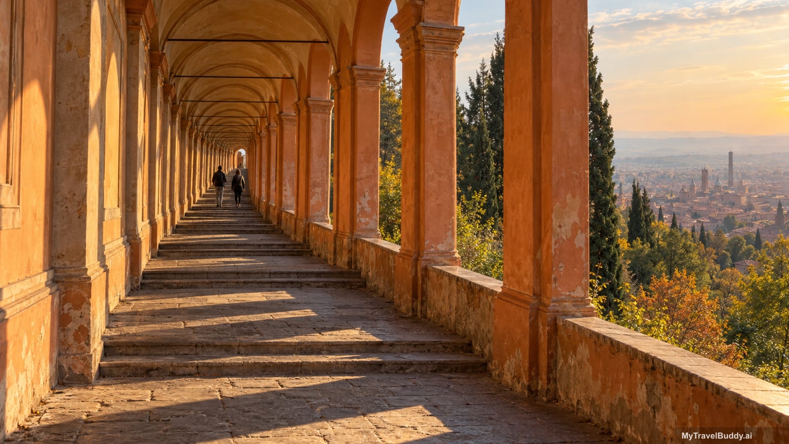
Bologna Has 62 Kilometres of Roof
Bologna has roughly 62 kilometres of covered portico, about 38 of them inside the historic centre, and the result is a city you can cross — and climb 200 metres of hill in — without ever stepping into the weather. The s…
Read nextInspired to go?